Water
The water section of the create settlement form lets you customize how rivers and coasts will be generated for a settlement.

There are two options for how to create the water for the settlement. You can have it been randomly generated, or you can draw the water state yourself.
Generation
To randomly generate the water, then ensure the "Water configuration" option is set to "Generated."
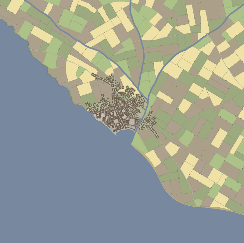
Coasts
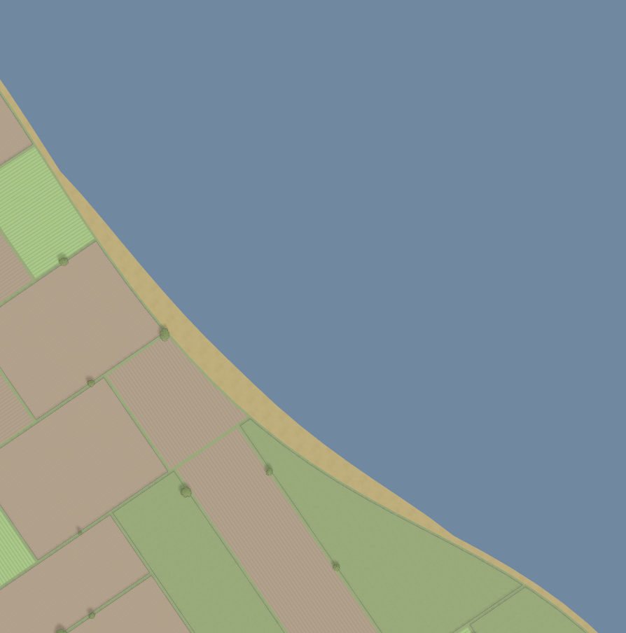
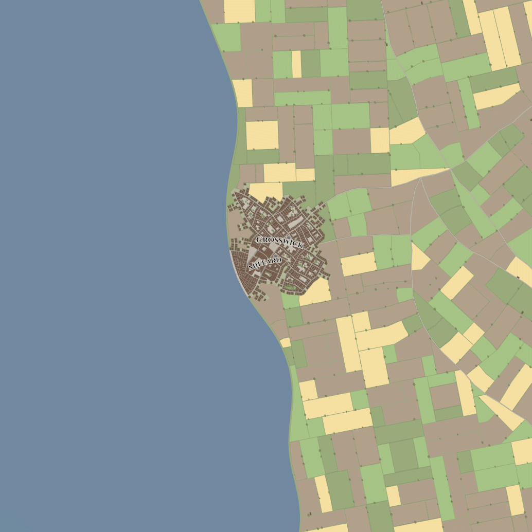
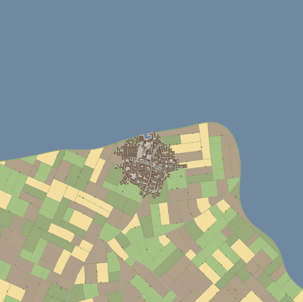
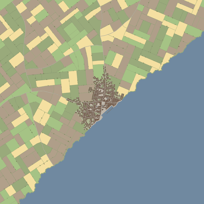
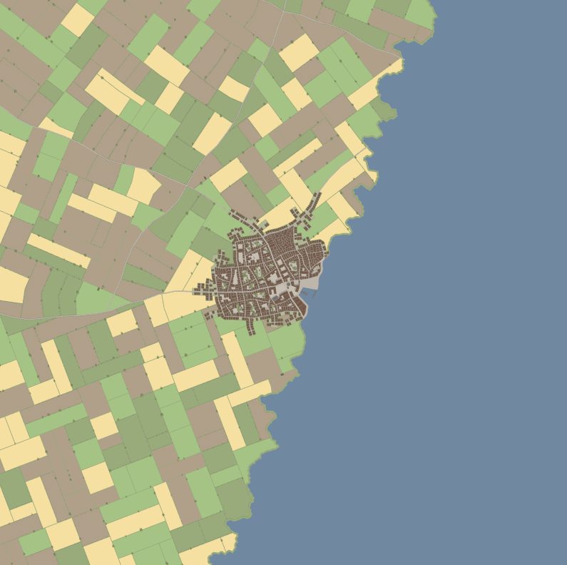
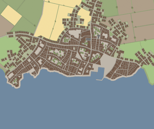
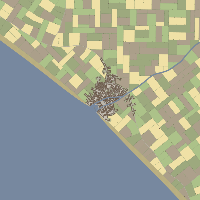
To generate a coastline, then enable the coastal option. This will generate a random coastline. This will generate using a random selection of preconfigured options — either a long beach, a rocky coastline, or a coastline with cliffs.
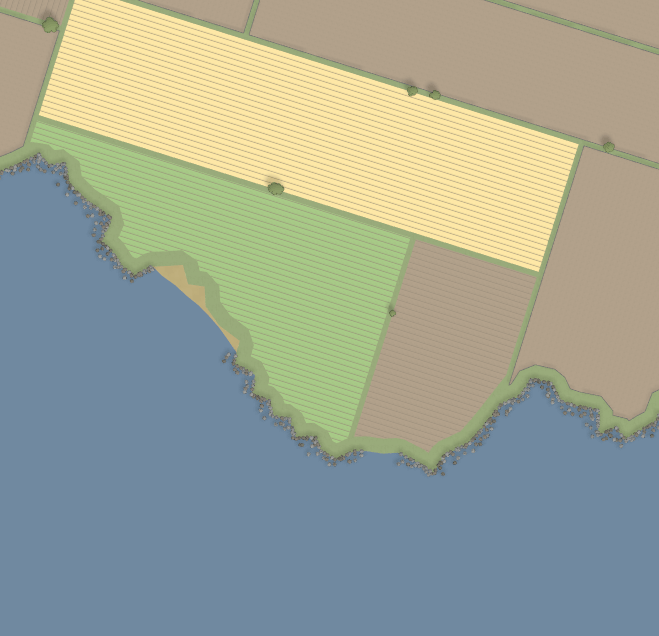
 Long beach
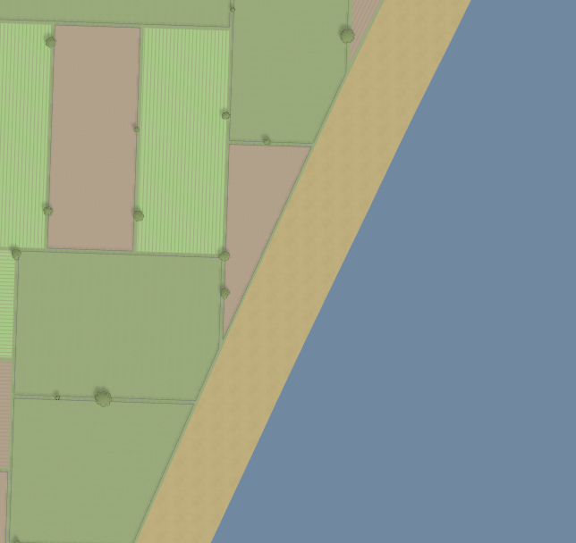
 Rocky coastline
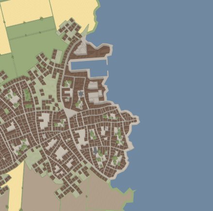
 Cliffs
Coastlines are generated in two arms — each arm starts near the center of the map, and then grows outwards until it hits the edge of the map. Each arm can be configured with different options.
You can manually configure the settings used to generate the coast by disabling the random coast option, and optionally, you can configure each arm separately by enabling the "Configure each side" option.

Using the "Overall config" option, you can choose from the long beach, rocky coastline, and cliff presets. By enabling the 'More extreme' option, you'll end up with exaggerated versions of the presets. This makes the overall coast shape more bendy, and bays and inlets tend to be deeper. For example:
 Long beach (extreme)
 Rocky coastline (extreme)
 Cliffs (extreme)
Full coast configuration
If you want even more control over the generation, you can set the "Overall config" option to "Custom"
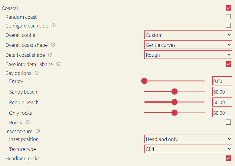
The coast generation algorithm first creates the overall shape for the coast, and then etches details into it, adding additional details based on if that section of coastline is a bay or a headland.
Overall coast shape
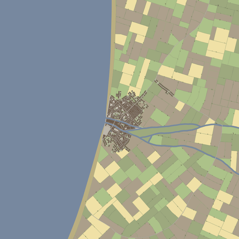
The overall coast shape option determines the algorithm used to generate the at-a-distance coast shape (i.e. no fine details). This can be seen more clearly when the detail coast shape is turned off:
 Smooth
 Gentle curves
 Sharp curves
- Smooth: a single long gentle curve.
- Gentle curves: multiple gentle curves, which can create large-scale bays and headlands.
- Sharp curves: more extreme version of the above - longer headlands, larger bays
Detail coast shape
At a zoomed in level (e.g. scale of meters), the type of generation that determines the shape of the coast. This generation runs after the overall shape generation, and essentially 'erodes' the coastline to create more interesting features. This is an example of each option, using the smooth overall shape:
Bays
Deep bays
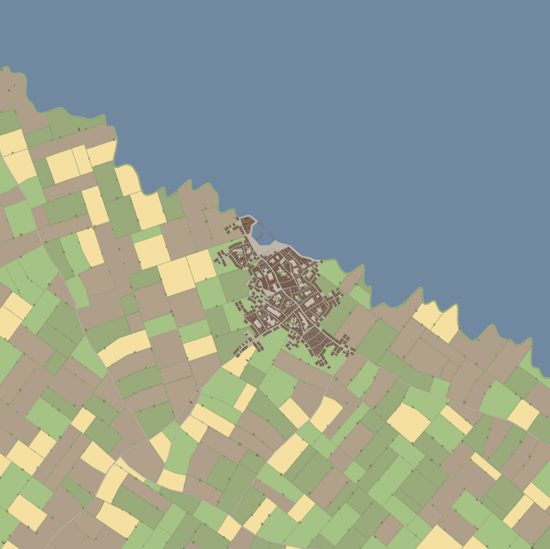
Rough
Jagged
- None: no modification to the overall coast shape.
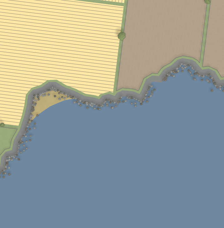
- Bays: smooth, rounded bays are carved out of the coastline.
- Deep bays: more extreme version of the above - deeper bays and more pointy headlands.
- Rough: rougher bays are carved out of the coastline, for a more rocky feel.
- Jagged: more extreme version of the above - deeper bays, sharper edges.
Ease into detail shape
If enabled, the detail shape will be less pronounced near the centre of the settlement, which usually means the harbour is in a less extreme looking position. For example (using smooth overall, jagged detail):
 Enabled
 Disabled
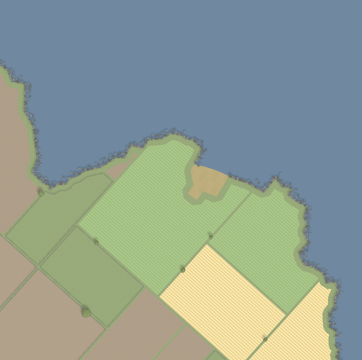
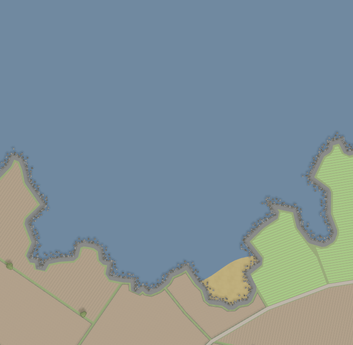
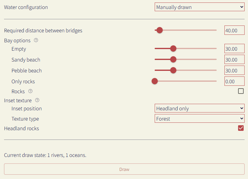
Bay options
These setting configures how a bay (or a smooth overall shape coastline with no detail) is decorated. The sliders configure the proportion of a bay having a texture placed (or nothing placed), e.g. like the beaches in the coast examples above. The rock setting determines if rocks should be placed in bays (like in the cliffs preset).
Inset texture
If a texture should be placed alongside the coast edge, e.g. like the cliff texture in that preset. This can be configured to be placed along the entire edge or just the headlands (or not at all).
Headland rocks
If rocks should be placed around headlands, like in the rocky or cliff presets.
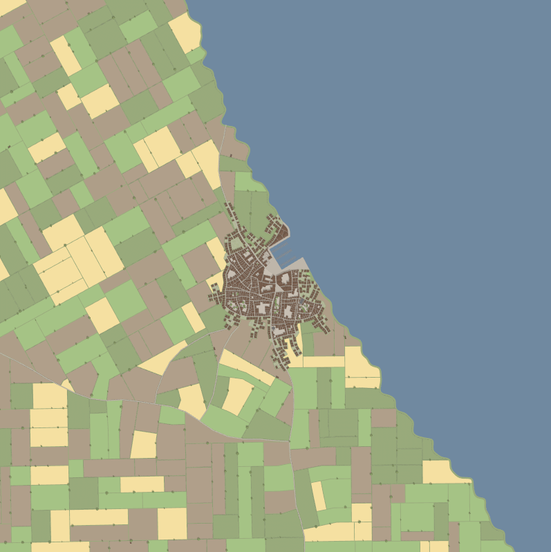
Harbours
Harbours are configured in the waterfront district settings.
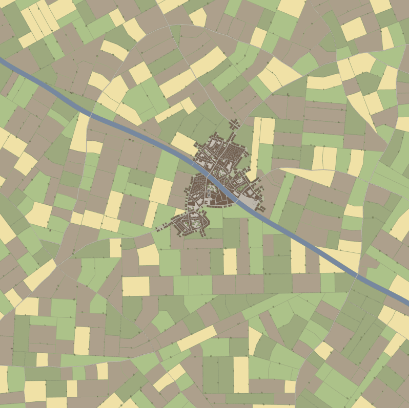
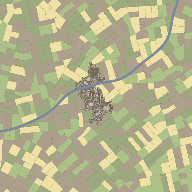
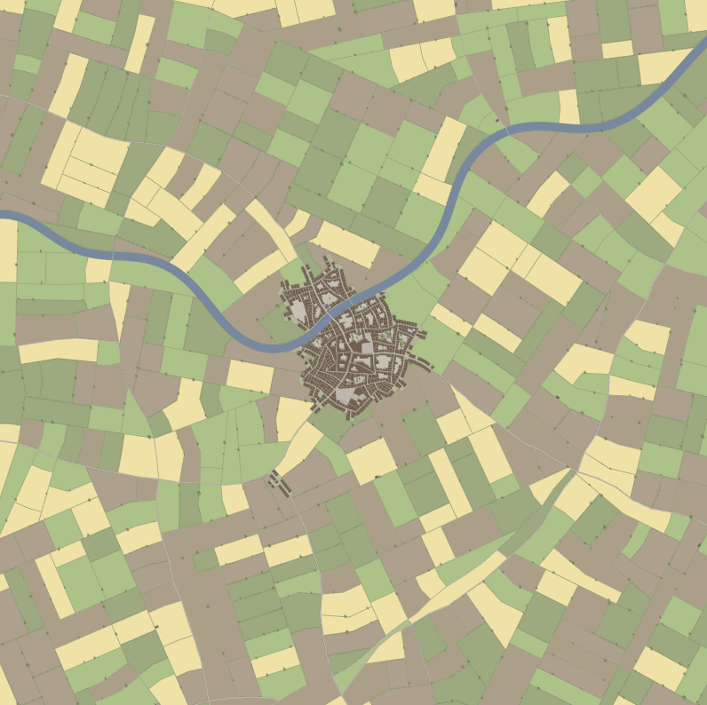
Rivers
To generate rivers, then enable the river option. By default, this will generate rivers using random config. To customise the river generation, change the river configuration option to 'Custom'.

Shape
The shape option determines the algorithm used to generate the river.
 Straight
 Gentle curves
 Sharp curves
Note: if generating a coastline, it's recommended to use the straight or gentle curves option, otherwise the river may end up bending back around in to the ocean.
Branches
Initially, a single river path is generated. Once this is done, additional branches can be created. When a branch is being created, it can start from any existing stretch of river. For example, the first branch will only branch from the original river chain, while the second branch can start from the original river chain as well as the first branch.
Convergent branches are branches that point upstream when they start generating, creating the appearance of multiple rivers converging together.
Divergent branches are branches that point downstream when they start generating, creating the appearance of a river splitting into multiple.
If a branch hits an existing river while processing, it will connect the two sections to form an island, and will then stop.
 Convergent
 Divergent
 Both
Both
Width
Controls the width of the river (in meters). Note that with many branches, a thinner river tends to work better.
Required distance between bridges
The amount of distance (in meters) needed between bridges.
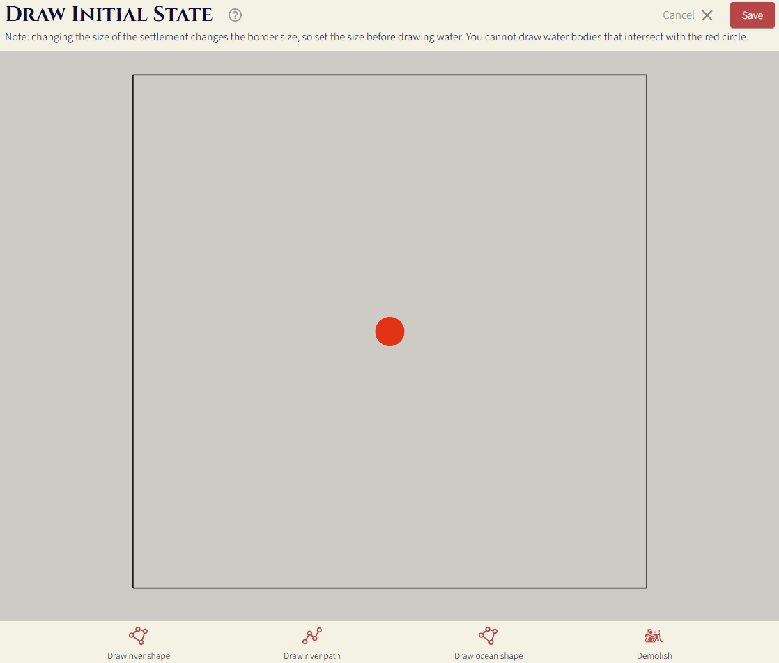
Manually draw
To manually draw the water in the settlement map, and have the settlement generate around that, change the water configuration option to "Manually drawn".
To start drawing, press the draw button. The difference between oceans and rivers is that roads will be extended to create bridges across rivers, while they will terminate if they hit an ocean.
The decoration options are configured the same way they are in the randomly generated water section.
Draw river/ocean shape
These two options behave the same way in terms of drawing them on the map. Select the option, then click points on the map to form a polygon, clicking on the first point to complete the shape. You can hold shift/ctrl to stop the map dragging when you click instead of placing the point.
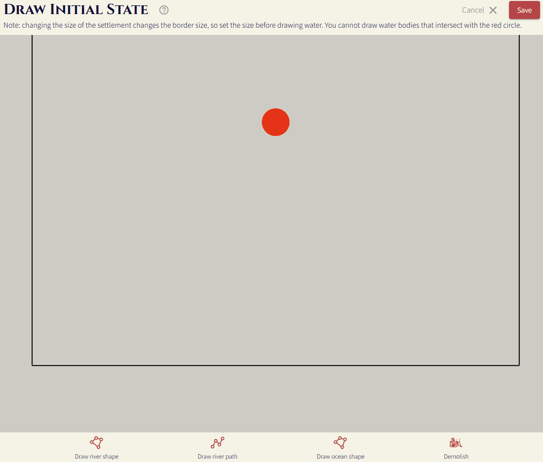
Draw river path
This option lets you just draw the path of the river, and then control how wide it is, as well as how smooth it is.
Required distance between bridges
The amount of distance (in meters) needed between bridges.